
But there is relief in sight.
While it won't rain throughout the day Sunday, a chance of showers and storms will continue through the afternoon.
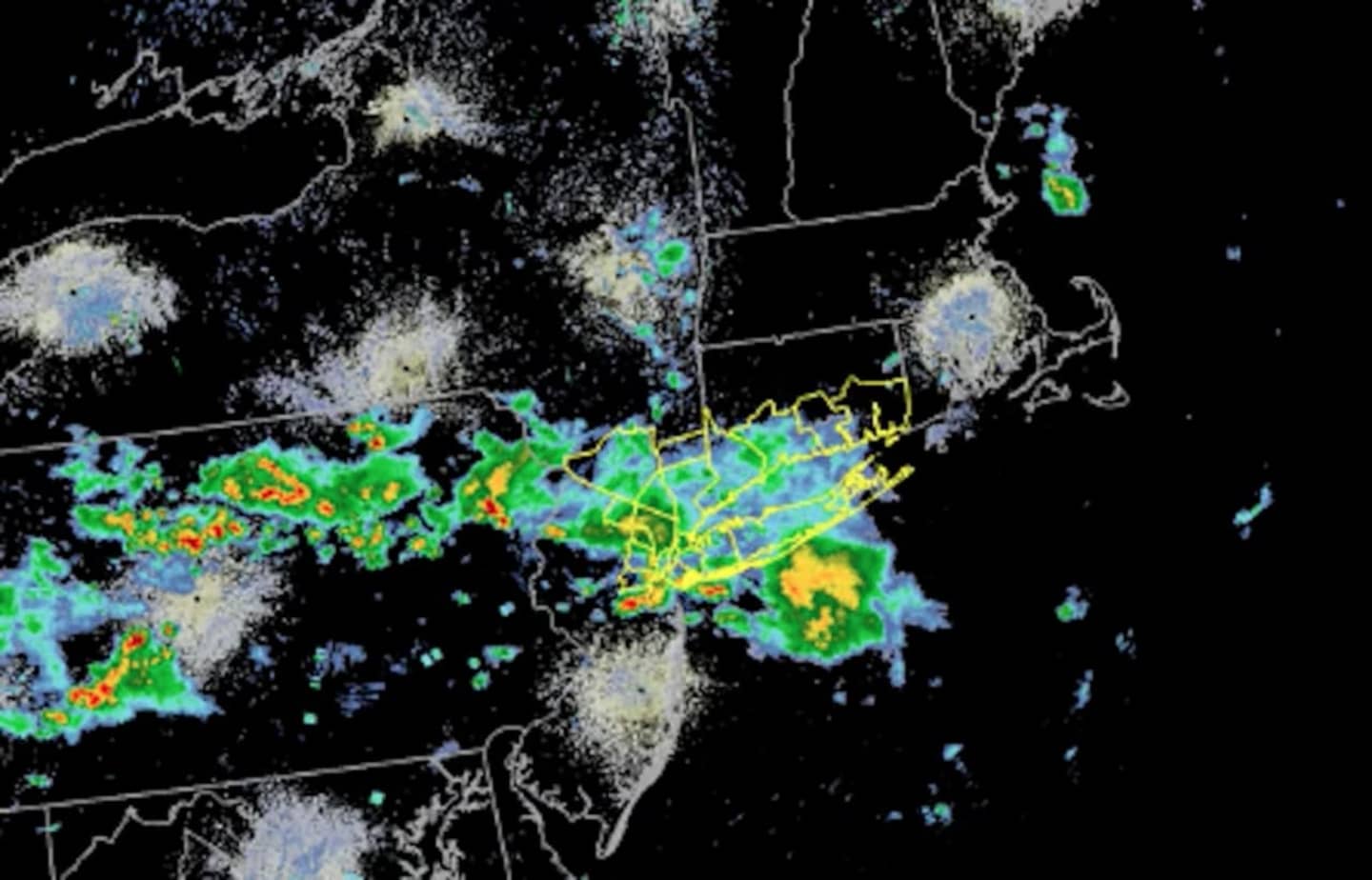
Showers and thunderstorms are forecast to impact the area through early Wednesday morning, the National Weather Service said in a new Hazardous Weather Outlook statement issued Sunday morning.
Heavy, though widely scattered, thunderstorms on Tuesday, accompanied by gusty winds, will usher in a cooler, more comfortable weather pattern.
Some of the storms may produce heavy rainfall, which may result in local flooding. Winds of 40 to 60 miles per hour and hail up to 1 inch in diameter are possible.
Those thunderstorms are expected to develop during the early afternoon hours Tuesday.
After the storms pass through, the weather pattern will become clear and comfortable.
Wednesday and Thursday will be both be mostly sunny with a high in the low-80s.
Check back to Daily Voice for updates.
Click here to follow Daily Voice Chappaqua and receive free news updates.